Catherine Creek (CC44 Southern Cross) Fish Habitat Restoration Phase 3
The project is located along Catherine Creek, approximately 3 miles southeast of the city of Union, Oregon and falls within the Atlas Biological Significant Reach CCC3b1 which is identified as highest priority with Tier 1 actions.
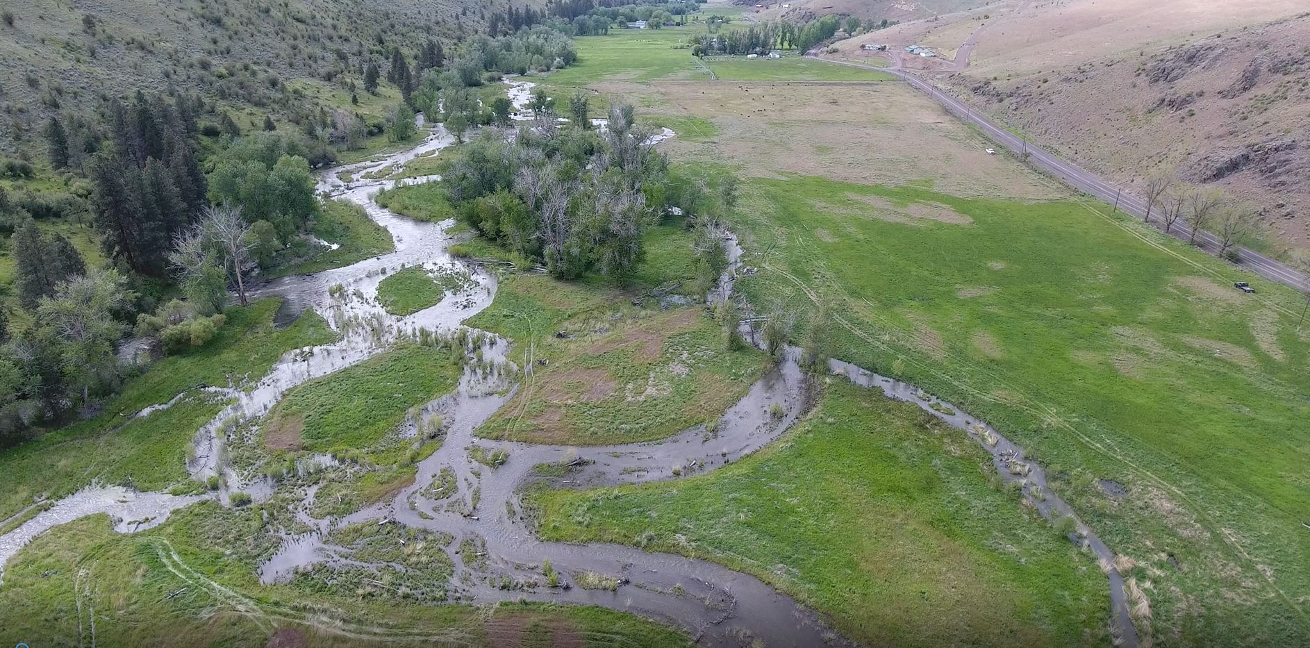
The project is located along Catherine Creek, approximately 3 miles southeast of the city of Union, Oregon and falls within the Atlas Biological Significant Reach CCC3b1 which is identified as highest priority with Tier 1 actions. The Phase 3 reach is located on the Southern Cross Ranch, acquired through the CTUIR's Accord agreement with BPA and protected in perpetuity for the conservation and restoration of salmon and steelhead habitat. The property includes about 0.75 miles of Catherine Creek and 68 acres of historic floodplain. The 402 square mile Catherine Creek watershed in Northeast Oregon's Grande Ronde Basin historically supported viable and productive native fishery resources. Anthropogenic alteration of the watershed has decreased habitat quality, quantity, and fishery productivity, creating decreased fish habitat suitability for multiple key life histories, including juvenile summer and winter rearing, adult holding, and spawning. Habitat limiting factors include: streamflow, passage, water quality, channel and bed form, channel/habitat complexity, side channels, and riparian/wetland habitat. These factors have been detrimental to a host of native aquatic species and contributed to the Endangered Species Act listing of spring-summer Chinook salmon (O. tshawytscha), summer steelhead (O. mykiss) and bull trout (S. confluentus). Restoration objectives seek to facilitate stable channel form with decreased width to depth ratios, riffle cross sectional area, increased sinuosity with tight radius large pools and profile conductive to improving floodplain connectivity with activation of peripheral juvenile rearing habitat. Furthermore, project actions intend to increase large wood complexes and floodplain roughness elements to encourage sediment deposition and riparian vegetation response, install bioengineered edge roughness and brush mattress to maintain channel dimension and decrease streambank erosion and sediment delivery and provide rapid vegetation regrowth and bank cover, and construct peripheral habitat (floodplain complexes and side channels) to increase juvenile rearing habitat, wetland development and hyporheic connectivity.
Project Lead: CTUIR
Project Collaborators: Bureau of Reclamation, Grande Ronde Model Watershed, Oregon Department of Fish and Wildlife, Union County Soil and Water Conservation District
First Foods this project targets
| Water | |
| Salmon | |
| Deer | |
| Roots | |
| Berries |
River Vision Touchstones this project targets
| Hydrology | |
| Geomorphology | |
| Connectivity | |
| Aquatic Biota | |
| Riparian Vegetation |
External Links
| Title | Links |
|---|---|
| CC 44 Southern Cross Restoration Video |
Project Funders
| Funder | Funding Amount |
|---|---|
| Bureau of Reclamation | $550,000 |
| Grande Ronde Model Watershed | $550,000 |
| Oregon Department of Fish and Wildlife | $550,000 |
| Union County Soil and Water Conservation District | $550,000 |
File Library
| Title | File | Description |
|---|---|---|
| SC Photo Comparison Re-vegetation | CC44SO~1.PDF | Uploaded file CC44SO~1.PDF |
| Southern Cross Basis of Design Report | CC-44 BOD with Appendices 100716.pdf | Uploaded file CC-44 BOD with Appendices 100716.pdf |
| Southern Cross Design Drawings | CC-44P~1.PDF | Uploaded file CC-44P~1.PDF |
| Southern Cross Hydraulics Analysis | CC-44 Xsection hydraulics_1 25yr Fealko.pdf | Uploaded file CC-44 Xsection hydraulics_1 25yr Fealko.pdf |
| Southern Cross Hydraulics Analysis | Fealko Information CC44 Design Criteria.pdf | Uploaded file Fealko Information CC44 Design Criteria.pdf |
| Southern Cross ISRP Presentation 2017 | Southern Cross ISRP presentation 2017.pdf | Uploaded file Southern Cross ISRP presentation 2017.pdf |
| Southern Cross Overview Map | Vicinity Map.pdf | Uploaded file Vicinity Map.pdf |
| Southern Cross Poster RRNW 2017 | Southern Cross Poster RRNW 2017.pdf | Uploaded file Southern Cross Poster RRNW 2017.pdf |
| Southern Cross Project Completion Report | CatherineCreekRM44CompletedProjectReport.pdf | Uploaded file CatherineCreekRM44CompletedProjectReport.pdf |
| Southern Cross Tour Handout 2019 | Southern Cross Handout 2019.pdf | Uploaded file Southern Cross Handout 2019.pdf |
Image Gallery
| Title | File | Description |
|---|---|---|
| SC Aerial Photo | 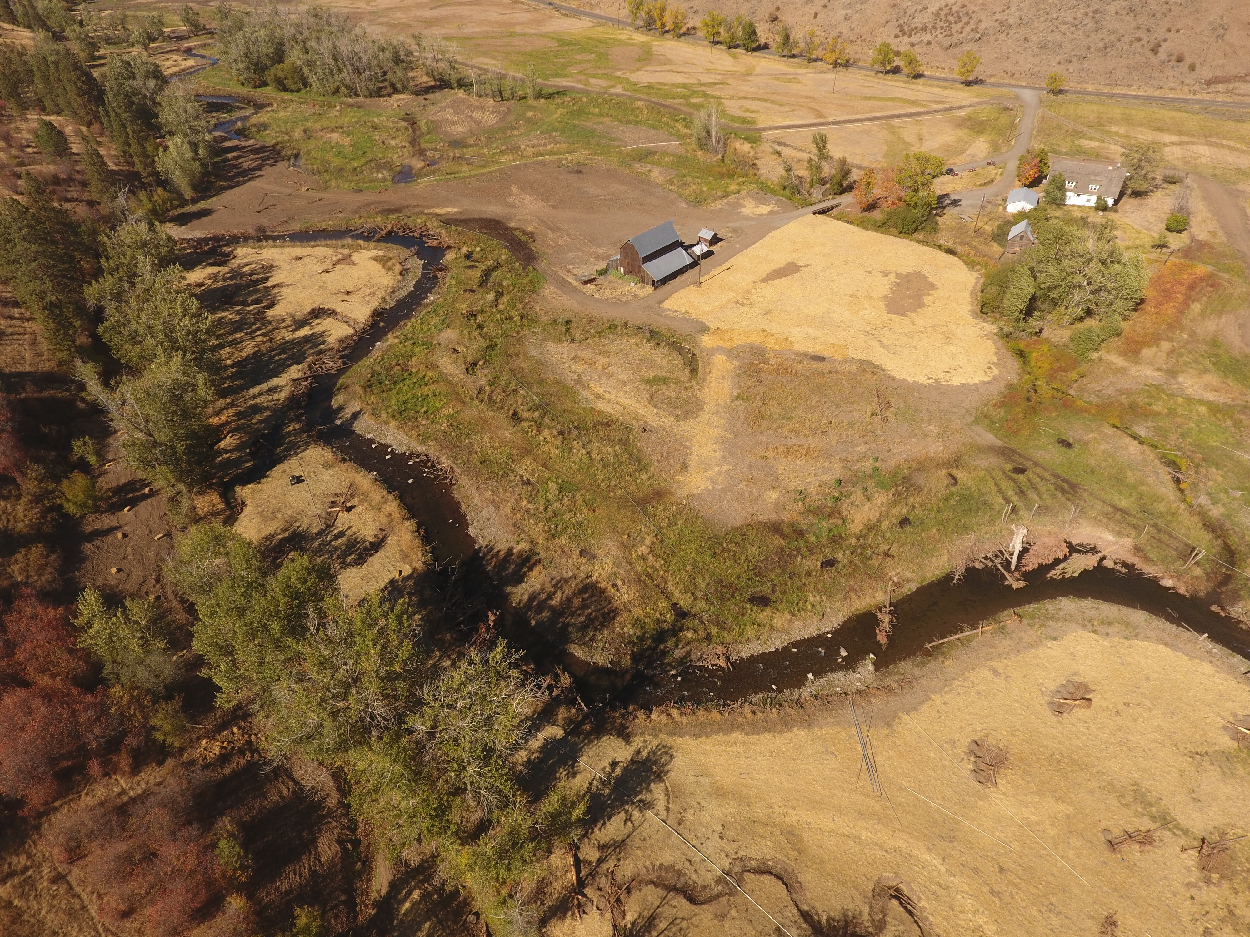 | Side Channel 2 |
| SC Aerial Photo | 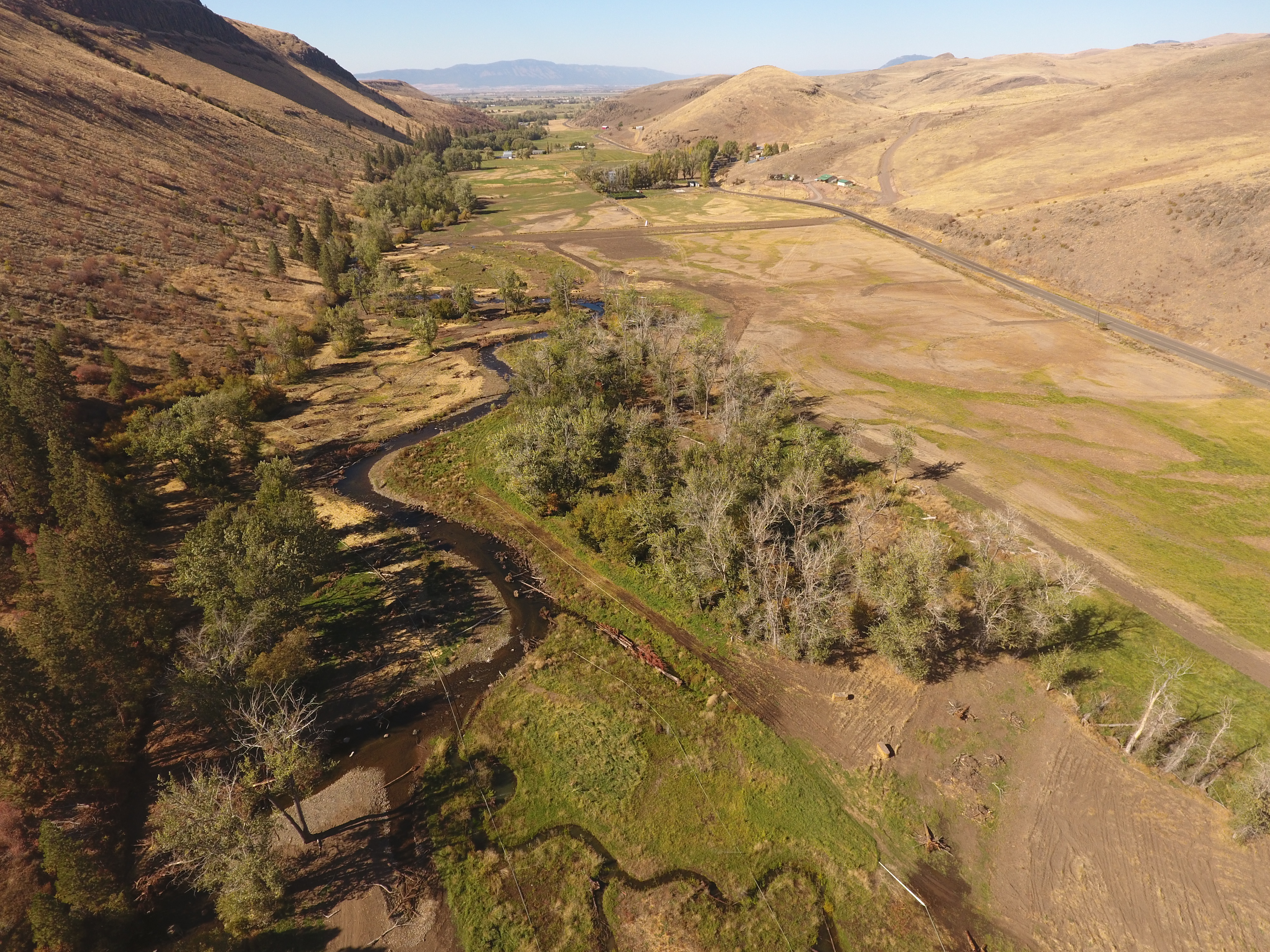 | Swale 4 & 5 |
| SC Aerial Photo | 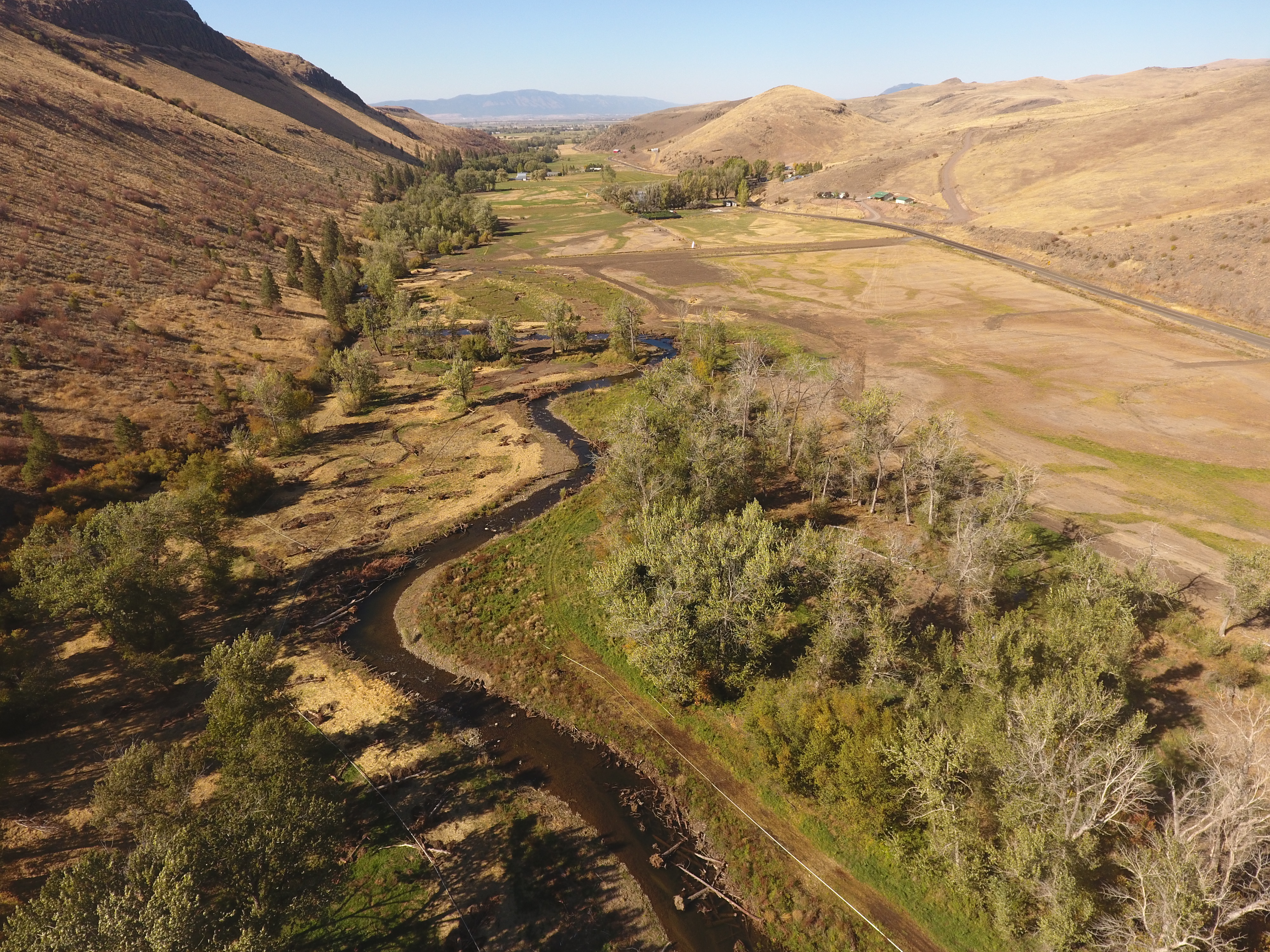 | Lower project area |
| SC Aerial Photo | 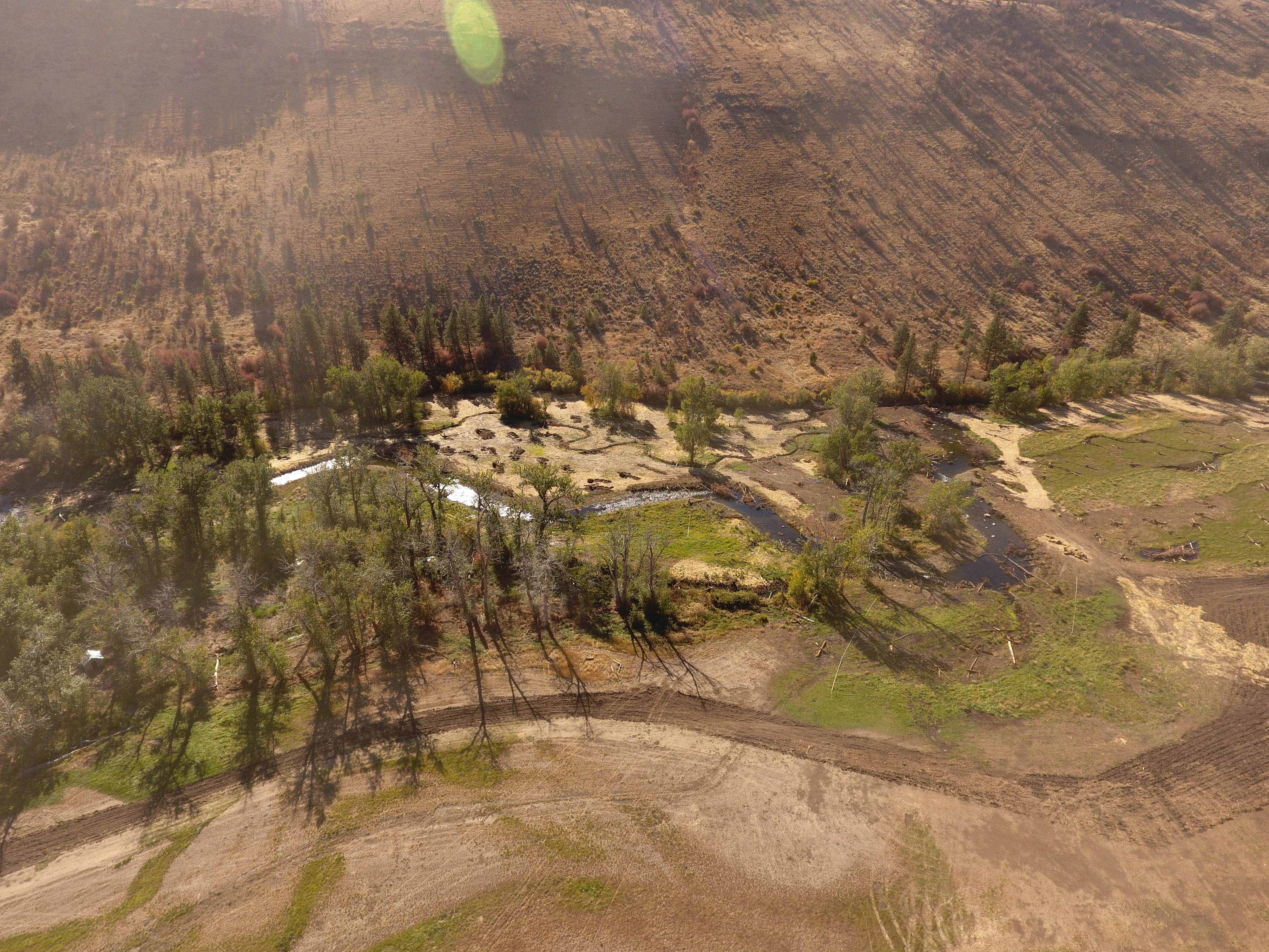 | Cottonwood gallery |
| SC Aerial Photo | 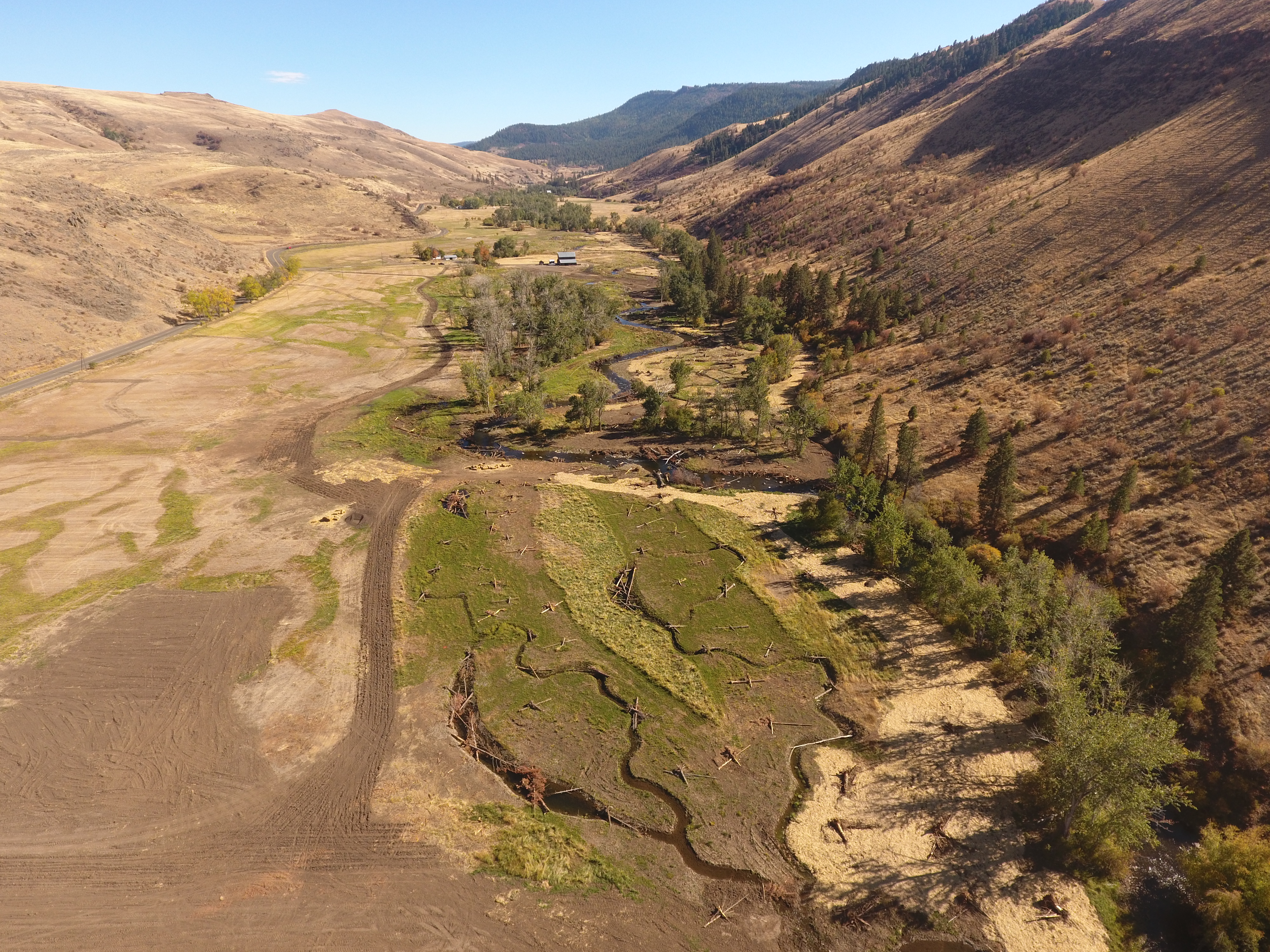 | Swale 6 |
| SC Aerial Photo |  | Uploaded file Southern Cross Lower Aerial Photo.JPG |
| SC Aerial Photo | 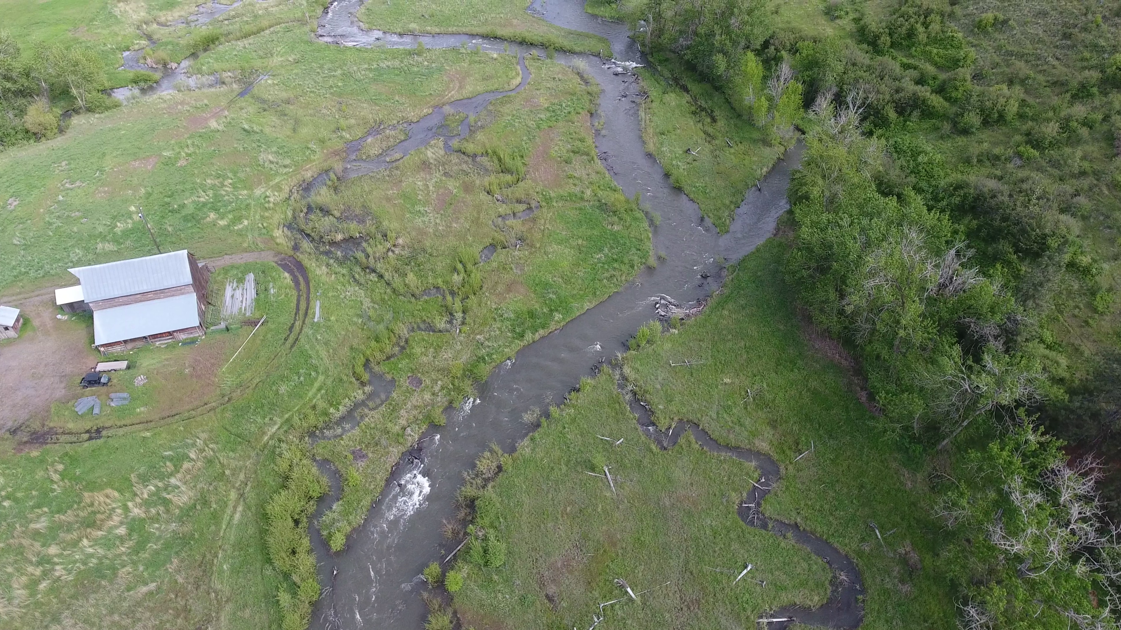 | Uploaded file Southern Cross ppt_3_20130417.png |
| SC Photo Overview Oct 2016 | 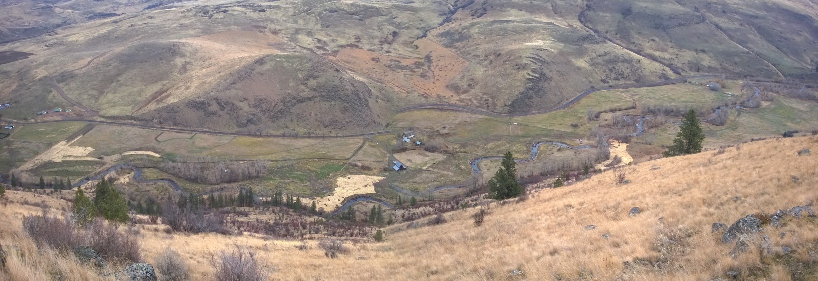 | Uploaded file SC CC44 Panorama Complete Project Oct 2016.jpg |